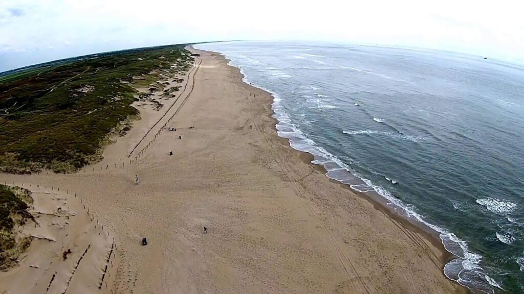
Grafiteitsduinen and the Donker Duinen
These dunes near Den Helder were formed from the remains of the old Wadden island Huisduinen. To the south of this are the Donkere Duinen, which originated from the small Wadden island of Ooghduinen. In the 16th century, the gap between the two islands closed. The dune lake Harmplas is now located at this location. Until 1980, water extraction took place in the Grafigheidsduinen, which eventually caused the water level to drop by 2.5 meters. Now that water extraction has stopped, the water level has risen again to close to the original level. The thick, species-poor reed collar in the Harmplas was then cut off. This allowed many vulnerable plant species such as garland algae, beach centaury, heather cartel leaf and knotweed fountain herb to re-establish themselves. The black-necked grebe has also been breeding in the Harmplas in recent years.
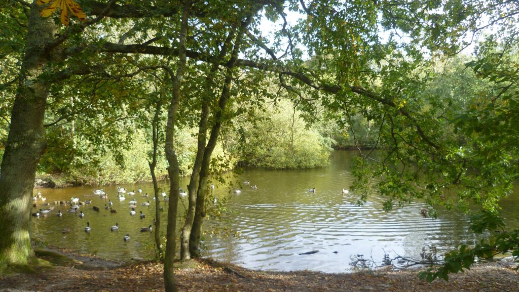
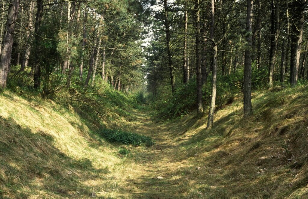
The Dark Dunes
The Donker Duinen is a planted pine forest that is being transformed with management interventions into a varied, more natural forest. There is an annular duck pond with bushy banks. It can be quite busy in the Donker Duinen, because it is the only hiking forest in the vicinity of Den Helder, and there is also a camping site. Landscape Noord-Holland only manages the western part. The east side is managed by the Municipality of Den Helder.
Grazing
The Grafigheidsduinen are grazed by Scottish Highlanders. A few Konik horses also help out in the Grafigheidsduinen. Grazing in these types of areas ensures varied plant growth. In one place the vegetation is kept short and the soil sparse and in places where a lot of manure ends up, plants that like nutrient-rich soil can grow. This produces rich plant growth with species such as reed and fragrant night orchid.