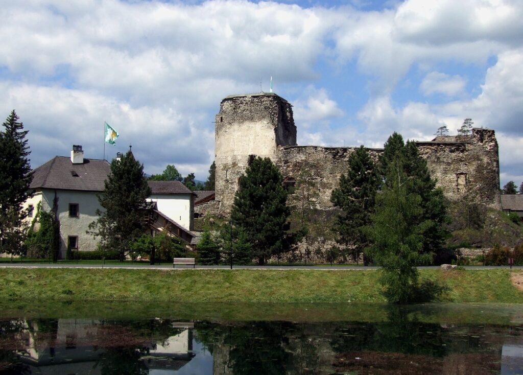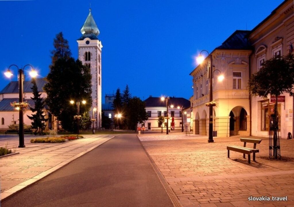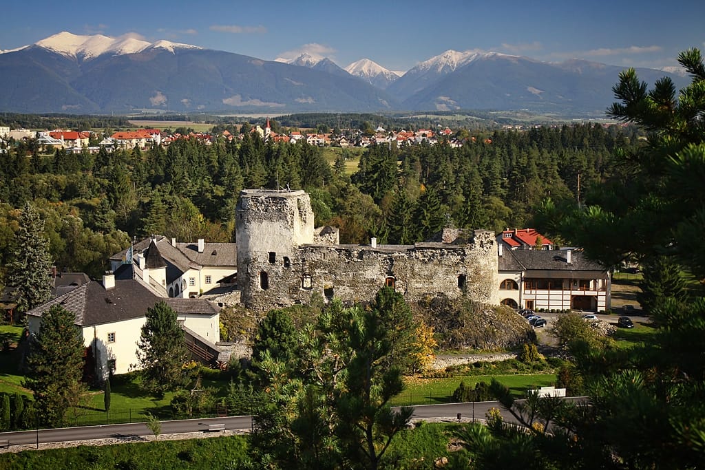
Liptovský Hrádok is a town in northern Slovakia, in the region of Liptov.
Geography and climate
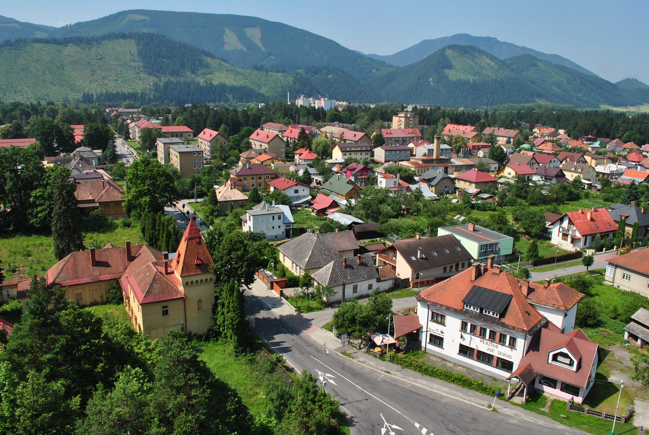
The region of Liptovský Hrádok is bordered by the Low Tatras to the south and partially bordered by the West and High Tatras. The town is situated in the middle of the Liptov Basin created by the Váh River. It is in the centre of northern Liptov and lies on the confluence of the rivers Váh and Belá. The average altitude of the town is 637 meters above sea level. Liptovský Hrádok has a moist warm climate with an average temperature about 16 °C (61 °F), while the more mountainous parts are colder. The temperature is about 18-23 °C (64-73 °F) in the summer and in the winter about −10 °C (14 °F). Rainfall is very frequent in this part and the weather often changes quickly. Snowfall stays on the ground approximately 140 days during the year.
Facts about Liptovský Hrádok:
- Liptovsky Hradok had 731 inhabitants in 1869 and currently (in 2012) has 7,454 inhabitants. [1]
- Area of the town: 1.832 ha.
- Dovalovo is its town section with 1001 inhabitants
- Average yearly temperature: 6.3 °C (43 °F).
- Maximum temperature: 31.0 °C (88 °F)
- Minimum temperature: −25.0 °C (−13 °F)
- Absolute maximum: 34.4 °C (94 °F) (16.08.1952)
- Absolute minimum: −38 °C (−36 °F) (11.02.1929)
- Length of sunshine: 140 days per year
- Average rainfall per year 691 mm
- Average number of cold days year: 160.4 days
- Average number of summer days per year: 28.9 days