The Municipality of Čitluk is located in the southwestern part of Herzegovina
The area of today’s Municipality of Čitluk, also known as Brotnjo, was first mentioned in history in 1306/07 in trade relations with Dubrovnik. This oldest known date was found in the Dubrovnik Historical Archive, indicating that Brotnjo was connected to that coastal city already in the Middle Ages.

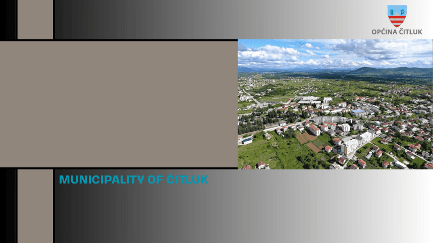
Since the late 1950s, the town of Čitluk has developed as the administrative center of Brotnjo. Today, the Municipality of Čitluk (Brotnjo) is part of the Herzegovina-Neretva Canton and covers an area of 181 km².
Čitluk borders the cities of Mostar, Čapljina, Ljubuški, and Široki Brijeg. Northeast of the municipality’s borders, the terrain slopes down towards the Mostar marshlands, southwest towards the Trebižat valley, and on the southeastern side towards the flow of the Neretva River.
The municipality is connected to the wider region by regional roads linking it to the major M-17 highway (Sarajevo-Mostar-Ploče, part of the European route E-73) and the M-6 highway (Grude-Ljubuški-Čapljina-Stolac-Trebinje). Within the municipality is a section of the most important railway line in Bosnia and Herzegovina, with a railway station at Biletić Polje. These transport routes and the municipality itself fall within the service area of Mostar Airport, highlighting Čitluk’s favorable geospatial and transport position.
The Municipality of Čitluk consists of 27 local communities (Mjesne Zajednice, MZ), which, along with the municipal center Čitluk, include the following settlements: Bijakovići, Biletići, Blizanci, Blatnica, Dobro Selo, Čalići, Čerin, Dragićina, Veliki Ograđenik, Mali Ograđenik, Gradnići, Hamzići, Krehin Gradac, Krućevići, Međugorje, Paoča, Potpolje, Služanj, Tepčići, and Vionica.

Because of its location between the continental hinterland to the west and northwest on one side, and the Neretva valley to the east and southeast on the other, the Municipality of Čitluk enjoys an excellent geographical position. The highest point in the municipality is on Mount Trtla at 582 meters above sea level, while the lowest point is in the village of Kručevići at 22 meters above sea level.
The climate in Čitluk is Mediterranean, with very long, warm, and dry summers, and mild winters—at least in the areas where about 99% of the population lives and where economic and other activities take place. Only a small part of the municipality extends into mountainous terrain around Mount Trtla, where a mountain climate can also be experienced. The area receives approximately 1,700 hours of sunshine annually, or around 170 days per year (estimated from regional data). The average annual precipitation is around 1,200 mm.
The Neretva River flows through the border area of the municipality and is rich in valuable fish species. The Lukoć stream flows near the town of Čitluk. Surrounding hills such as Crnica (to the south, with the peak Križevac at 520 m), Trtla, and Ozren (to the north, peak at 510 m) abound in typical Mediterranean vegetation, including maquis shrubland, medicinal herbs, and wildlife.
The sector where Čitluk is naturally poorest is surface water resources. The only permanent watercourse is the Neretva River, which touches the municipality’s border for about 9 km. Other watercourses are mainly linked to rainy periods in autumn and winter when numerous underground streams surface. The most important of these is the Lukoć stream, originating from the edge of the Broćansko field at the Elezovac spring in Hamzići village, flowing across the field, past Čitluk and Međugorje, and into the Studenčica River in Studenci. Another significant, though shorter, watercourse is the Dunajac stream, which springs in Biletić Polje and flows into the Neretva. Near Dunajac and Neretva is the main water intake for the entire Municipality of Čitluk, located at 24 meters above sea level.
Additionally, during autumn and winter, after several days of rainfall, underground springs activate at the edge of Broćansko field, causing flooding of the entire Čitluk field. This water then flows through the Lukoć stream and is regulated by a dam built in the 1950s. The dam was originally designed as an irrigation reservoir for the Međugorje field and now protects the narrow center of Međugorje from floods.
Čitluk Municipality: A Hub of Tourism and Hospitality
Čitluk is one of the most developed municipalities in Bosnia and Herzegovina when it comes to tourism and hospitality. A large part of its economy thrives on tourism and service industries, offering a diverse range of experiences that attract visitors year-round.
Religious Tourism
Međugorje is a unique global pilgrimage site, drawing faithful from around the world for over 40 years. Since the reported apparitions of the Virgin Mary in 1981, it has become a vibrant spiritual center. Visitors flock to St. James Church, Apparition Hill, and Cross Mountain, especially during key religious events like Easter, the Anniversary of the Apparitions, the Youth Festival, and Christmas.
Agrotourism
With a millennia-old tradition of viticulture, Čitluk’s fertile lands are famous for their indigenous wines — the white Žilavka and the rich red Blatina. Local wineries welcome guests all year, offering tastings and stories behind each vintage. The region’s rural charm is complemented by cozy holiday homes, perfect for those seeking peace and nature. Highlights include the annual Wine Festival Blaž and the Grape Harvest Days in September.
Sports Tourism
Thanks to its mild Mediterranean climate, Čitluk offers excellent conditions for sports and outdoor recreation year-round. The Međugorje Sports Center caters to both professional teams and recreational athletes, supported by Hotel Brotnjo’s training facilities. This seasonal tourism boost has extended the local tourist season, adding even more vitality to the region.
To learn more about local administration, services, and community updates, visit the official website of the Municipality of Čitluk.