
Places to visit
Agricultural museum – Museum has an exhibition of antique equipment, devices, tools, furniture, household appliances. Exhibition is held in renovated granaries made of wood. Also there is a separate exhibition for motorcycles. There is a working forge and it is possible to try the blacksmith’s craft. In addition, there are some exhibits from Latvia, Belarus, Germany.

Those who wish to familiarize themselves with unusual for our region, primitive, reminiscent of the tundra landscape and peculiar local flora and fauna can travel through the cluster of boulders between junipers on the exploratory serpentine path for about 2 km.
Monument for J. Basanavičius – J. Basanavičius monument is located in Ylakiai town square. It was built in 1938 to commemorate Lithuanian 20 years independence day anniversary.

In 2003 a monument to the founder of the City of Skuodas J. Chodkevičius has been built next to the administration building of Municipality, which is located in Skuodas city, Vilniaus str. 13. Author of the sculpture – Marius Grušas, architect – Adomas Skiezgelas
In historical literature it is claimed that in Grūstė district Jonas J. Chodkevičius founded a city and called it by his early family name – Bareikiai (Borejkowo). There was an inventory made in 1568, it declared that in the city there were 93 sites with houses, a church, a market, six streets. City also had cultivable land which was bordering with Ylakiai village territory. It is believed that Bareikiai were burnt by Swedes in XVII century. In early XIX-XX century there was an attempt to locate the city to southwest side nearer Arkšvos hill. These lands in which J. Chodkevičius founded the city were given to him by his merits. J. Chodkevičius used his new land and founded another city – Johansburgas (used his own name for the city). This city was populated by German craftsman and tradesman. In 1572 they even got their rights to establish marketplaces and fairs.
When growing up Jonas Jeronimas Chodkevičius became an evangelic and actively supported reformation movement. In Skuodas city built Evangelic Lutheran church and in 1570-1572 embraced to Catholicism.
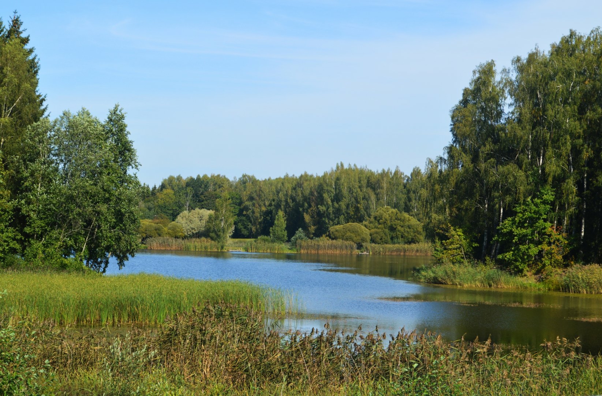
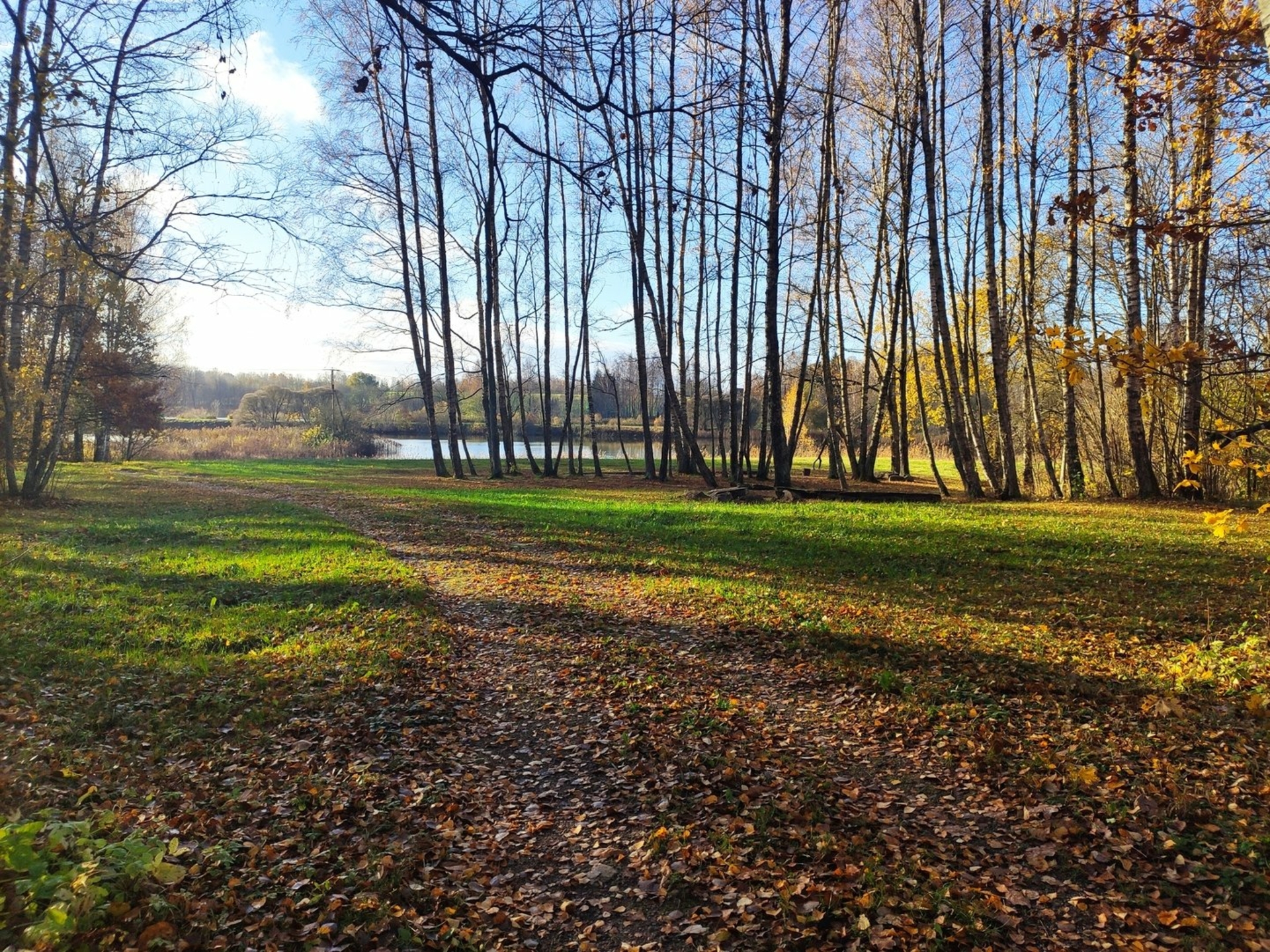
Mound of Apuolė – Apuolės mound is located in Apuolės village, Skuodas district. Going through road Guntinas- Barstyčiai, there is a wooden sign marking the mounds location. This mound is pride of Skuodas district. Apuolė is a settlement on the territory of today’s Republic of Lithuania mentioned and written sources earlier. The Rimbert chronicle “Life of St. Ansgar” states that Apuolė belonged to the Swedes, but residents get rid of them. Taking advantage of this the Danes aattaacked Apuolė but were defeated. In 853-845 Swedish King Olaf with a large army attacked Curonian town called Apulia protected by 15,000 soldiers from 5 regions; on the 9th day of the siege the negotiations began. Residents of Apuolė paid ransom by silver, gave hostages and recognized the authority of the Swedes. Today Apuolė is a reserve in which the picturesque landscape of the valley of the river of Luoba, the mound, the villages of those times and the remains of a burial ground are located. Every year in the month of August festival of ancient warfare and craft “Apuolė 854” is organized. The mound of Apuolė is declared as archeological object, historical and landscape reserve.

Spring of Truikinai
Truikinių spring is located in Trukinių village, Skuodas district. There is an information sign by the main road to Skuodas- Mažeikiai. GPS coordinates N 5616.523, E 02140.175. Going even further, the spring is hidden between two steep slopes in a ravine, surrounded by trees. In this huge 5-6 meters diameter ravine there is actually two sources, one is yellowish brown, another is brightly grey, colours differ because of the sand laying in the bottom. Grey source, so called the“eye”, is about approx 1.5 meters in width, the brown one is twice as big. Bottom of the basin is solid, water clean and cool. Specialists in land-reclamation in order to dry surrounding fields dumped gravel in to the spring, luckily it survived and still manages to deliver joy. The school of Aleksandrija has a lovely tradition that every year their students spend their last day of the academic year by the spring. Source of Truikiniai is declared as hydrological monument of nature, hydrogeological object and it is included in the list of state- protected objects of natural heritage.
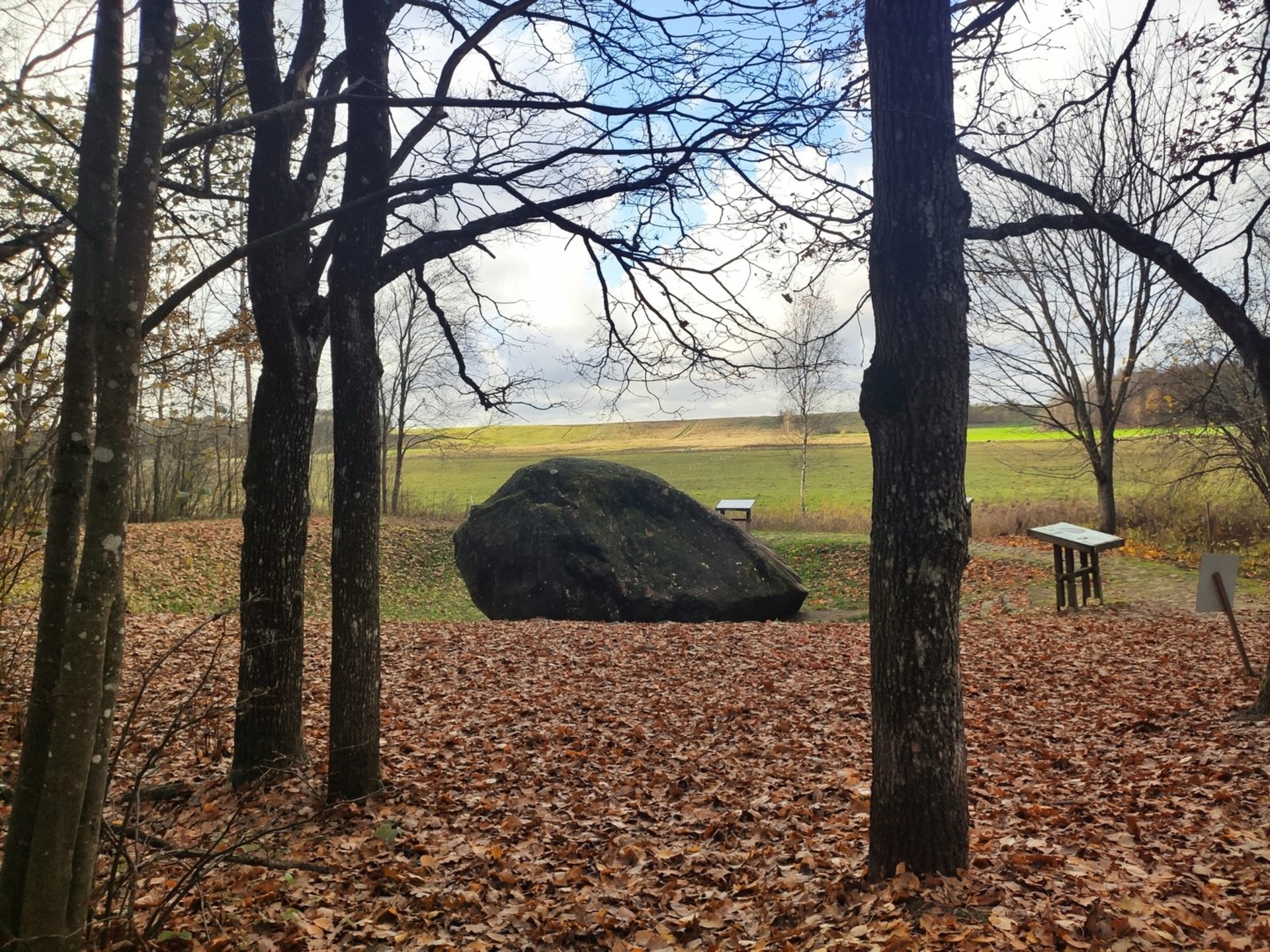
Boulder of Šilalė is the fifth of the largest stones in Lithuania. The length of the boulder reaches as much as 7.48 m, width 5.48 m., girth- 18.33 m. Boulder is located on the mound which previously was surrounded on all sides by swamps, and through them to the direction of Šilalė village paving stones passed.
HISTORY: Šilalė boulder always got residents attention because of its massive size, so the name Great boulder was given. (In samogitian boulder means “rock”). Story tells that under the boulder son of the wind is sleeping there. The boulder lays in a small hill which in the olden days was surrounded by marsh. Between the XVI-XVII centuries pagan shrine with fireplace and altar was operating there. This location can be accessed from west side path called kūlgrinda, it is a hidden underwater stony road.
The pan stone and the altar stone are the legacy of a pagan temple. All of these stones are monuments of nature and archeology.
The biggest stone of Puokė in Lithuania –
The biggest stone of Puokė in Lithuania in the postwar year was excavated near Barstyčiai in the village of Puokė. Boulder has the shape of the vessel, its length – 13.4 m., width 7.5, height 3.6 m, weight about 680 tons It is listed in the Book of Records of Lithuania and declared as a geological monument of nature. In 1956 specialists in land-reclamation started to intently look into Puokės village , on one of the homesteads at the edge of its territory they have found a rock. In 1957 specialists in land- reclamation dug deeper, wider and revealed that it was large boulder, it was submerged under water mixed with loam. This boulder sat quite a long time in a half dug hole surrounded by rainwater. Finally, it was decided to excavate the boulder, drain out surrounding area, so that visitors could explore this natures beauty from all sides. There’s a legend saying, that long ago there was a heathen shrine for old Lithuanians where the boulder lies now. Saying goes that god Thunder brought wrath upon the shrine, when he found out about unfaithful priestess, burying the shrine underground together with the huge rock. Barstyčių boulder is added in Lithuanian record book.